Shipping
Shipping costs are not included in the prices. We will send you a separate email to confirm the shipping fee, which depends on your location and the package size.
Examples: Finland 6,00€; Sweden, Germany, Baltics 10,00€; Benelux, Denmark, Spain 12,00€; Non-EU 35,00€
terms & conditions
Before ordering we kindly ask you to read our terms and conditions.
availability
Our online selection is stored separately. To view an item at the bookstore, please contact us ahead of your visit.
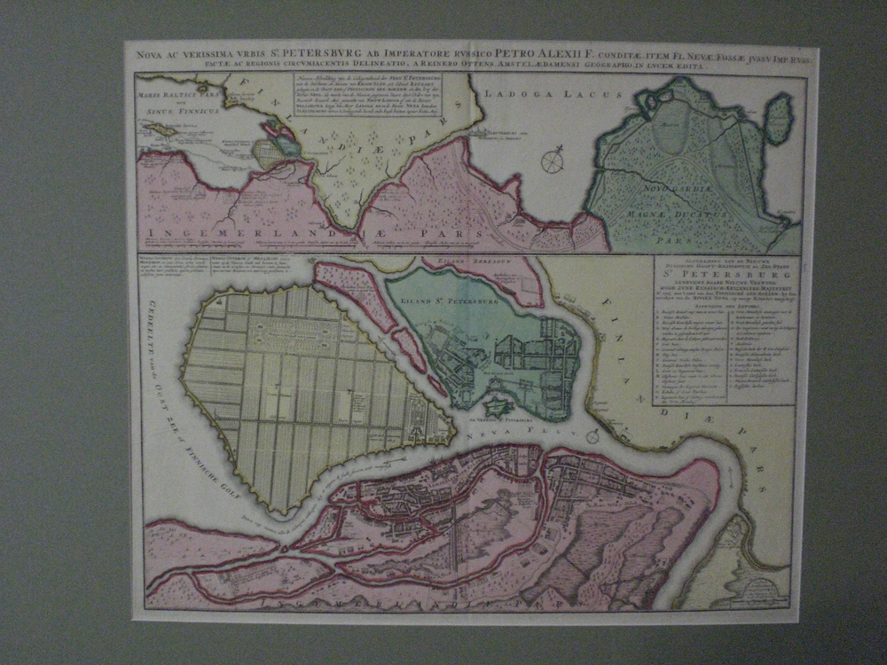
OTTENS: Nova ac verissima urbis St. Petersburg (1765)
€1.500,00
1 in stock
Description
REINER OTTENS (1698 – 1750) & JOSHUA OTTENS (1704 – 1765)
Nova ac Verissima Urbis St. Petersburg ab Imperatore Russico Petro Alexii F[ilii] conditæ, item Fl[uvius]. Nevæ, Fossæ Jussu Imp[erator] Russ[iæ] factæ, ac regionis circumiacnetis Delineatio
Map of Saint Petersburg
An 18th-century city plan and regional map of St. Petersburg by the Dutch cartographers Reiner & Joshua Ottens.
The sheet features two separate maps engraved on a single plate: the upper map presents the broader geographical location of St. Petersburg between the Gulf of Finland and Lake Ladoga, while the lower section provides a detailed city plan of the newly established Russian capital.
Copperplate engraving with fine old hand-colouring.
- Condition: Good. Mounted in a passe-partout.
- Dimensions: 52 x 60 cm
Additional information
YEAR OF PUBLICATION:
1765
PLACE OF PUBLICATION:
Amsterdam
Technique:
Copper engraving


